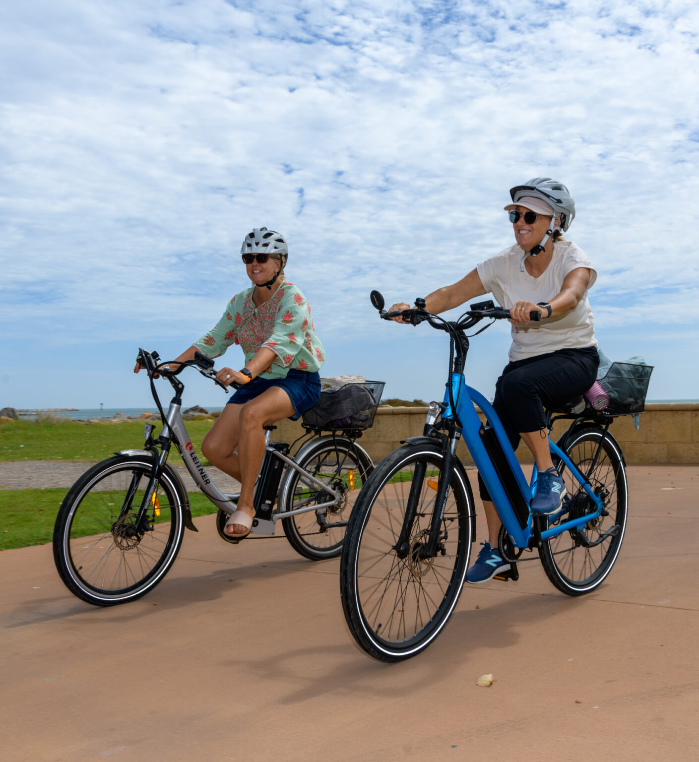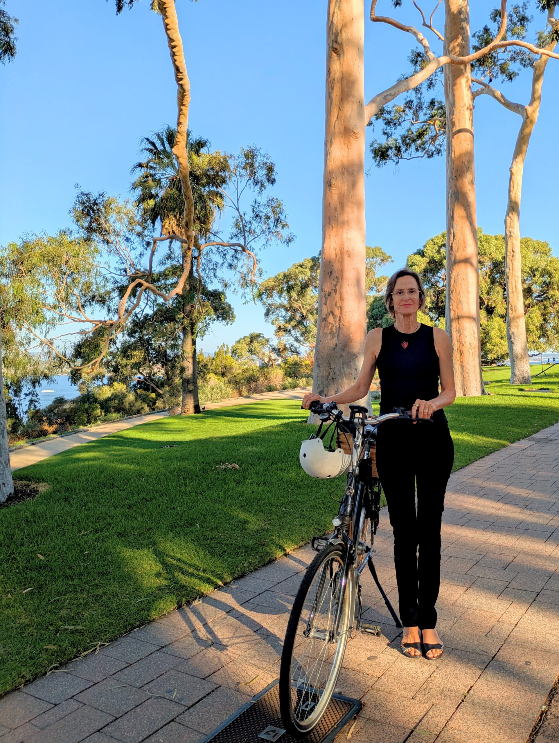

We are spoilt for transport choice here in WA, but navigating our local neighbourhoods by walking and riding needs to be safe and accessible for everyone. To help more people in Geraldton and Albany get around their neighbourhood safely we are creating Regional Active Travel Maps.
When heading into town, it is common to rely on a digital map for the most direct route. However, the quickest path is rarely the most practical. Through the Connecting Communities program, thanks to the support of Healthway, WestCycle is developing printed and online Regional Active Travel Maps for Geraldton and Albany. Input is currently being sought from residents regarding the best routes they travel from local suburbs into the town centres. https://westcycle.org.au/regional-active-travel-maps/
We collectively enjoy what riding brings to our lives. We want to extend that enjoyment to those who walk, run, and scoot by identifying routes that prioritise safety, lower traffic volumes, and continuous paths over the fastest possible time. Whether travelling from Wonthella to the Geraldton Town Centre or from Lockyer to the Albany Town Centre, local expertise is necessary to build accurate maps.
If you have a favourite route you want to share and a spare five minutes, please follow the link above. All entries go in the draw to win a $100 local bike shop voucher.